If you would like to find a cycle route online in or around Amsterdam, you have various (free) options.
The best option, probably, is the cycle route planner provided by the Dutch Cyclist Union (Fietsersbond). The other planners listed below are all based on OpenStreetMap, but have various advantages and disadvantages.
Fietsersbond
This is the planner provided by the Dutch Cyclist Union.
Advantages:
- has English language interface
- has option to avoid ferries
- has option to avoid roads/ferries that are 'not always accessible' (distinguished from ferries that go 24/7)
- the planner gives detailed warning(s) about ferries included in the route. It tells you exactly where in the route the ferry is to be found, and provides time information. This is the only planner that does that.
Disadvantages:
- it depends completely on Cyclist Union volunteers for its data. The planner is still quite up-to-date though at the moment (October 2015), and can well be used for planning trips in and around Amsterdam.
Cyclestreets
This is a UK-based route planner, but it also works in the Netherlands.
Advantages:
- gives warning that a ferry is included in the route. You can find which ferry in the route description, but time information is not provided.
- all text is in English
Disadvantages:
- searching for addresses is buggy
Fietsrouteplanner Zuid
OSM based route planner, works in the Netherlands and Belgium.
Advantages
- Warns for ferry in route (but rather basic: it won't tell you where in the route the ferry is to be found, and there is no way you can find it)
- option to exclude ferries from routes
Disadvantages
- Route calculation can be slow
- With nice weather, website can be too busy
- Only Dutch language interface
OpenRouteService
OSM based routeplanner, also for cycling
Advantages
- allows for Points of Interest in address search field
- unique option: allows to avoid certain areas: you can tell the route calculator where not to go
- option to add waypoints (but a bit buggy)
- option to avoid ferries (but not the option to not avoid ferries that go 24/7)
- option to avoid stairs and unpaved roads
- interface is in English
Disadvantages
- No warning for ferries in route
-------------------------------
All OpenStreetMap based bicycle routeplanners allow for download as GPX file to your navigation device (e.g. Garmin GPS).
If you have a Garmin device, you should have a look at OpenFietsMap, where you can download a free map of the Benelux. This map allows for on-the-fly route calculation in the Benelux countries.
None of the OSM based routeplanners have a properly functioning helpdesk, and none of them communicate when the last update with the most recent OSM data took place, or how often this is scheduled.
All above routeplanners update their routing data at least once a week (except, about cyclestreets.net we're a bit in the dark).
----------------------------------------------
App for off-line navigation with your smartphone
Special mention should be made of the app OsmAnd. This app is based on OpenStreetMap too, can be downloaded for free, including the map you need. This way, you can navigate with your smartphone, without an internet connection.
It also works for walking and car routing. The app is available for Android devices and iPhones, but on iPhones you can not have a route calculated.
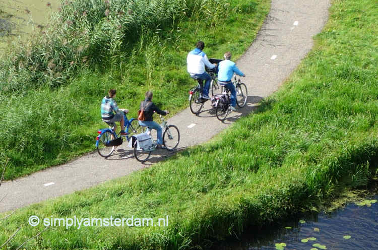
Cycling in Amsterdam North